|
The PFSL-G3 system employs an integrated GPS receiver to display and store geographical co-ordinates of the measured signal.
The logged data include time, date, latitude, longitude and altitude.
The signal level can be measured in µV, dBm or S-units, and field strength can be displayed in µV/m or dBµV/m. Instantaneous,
peak or average values can be shown, calculated over user-definable intervals.
The contents of the logs have a flexible format, defined by the user, making the data easy to import into popular GIS
packages for further processing. A provision also exists to specify the antenna factor
of calibrated antennas for various frequencies, to achieve accurate measurements of field strength.
This system is enclosed in a ruggedized easily transported
enclosure, which contains the control computer, the receiver and rechargeable
battery. It can be powered from three sources: Internal rechargeable batteries, a vehicle's 12V DC power outlet or
mains power. Leads to connect to mains and the vehicle power outlet
are included. The enclosure features dual fans for cooling and built-in
fuses protect system components. The GPS, receiver antenna and power connectors
are easily accessible.
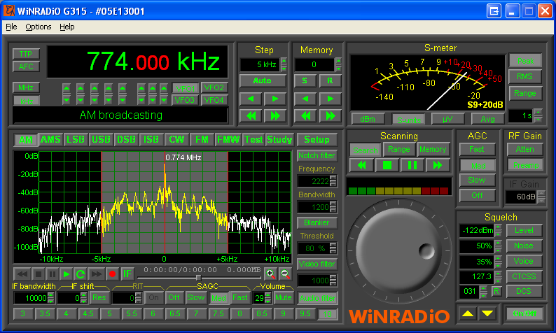
Sophisticated signal processing, demodulation and recording facilities are included in the comprehensive software
package supplied with the system.
The PFSL-G3 system is designed for use by emergency service providers, communications providers, public safety, homeland security, law enforcement
and defence authorities.
Receivers
WiNRADiO G313e or G315e receivers are at the heart of the PFSL-G3 systems,
making it possible to achieve the necessary high level of integration. The receivers are designed to operate in the harsh electromagnetic environment existing inside a computer-based system.
|

